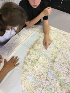
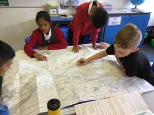
This week, as part of our geography learning (Where in the world?) we learnt all about maps.
We thought about different types of maps and when we might use them. Then, we had chance to look at a range of OS maps for different regions around the UK. We learnt about contour lines, map symbols and identifying physical features. We also used a great online resource to aid our understanding (you can access this at home, too).
After lots of fun learning, then came the real challenge: learning how to fold our maps away correctly! I had agonised over how to teach this effectively but there was no need; turns out, Year 5 are much better at folding maps away than I am!